Overview
Objective
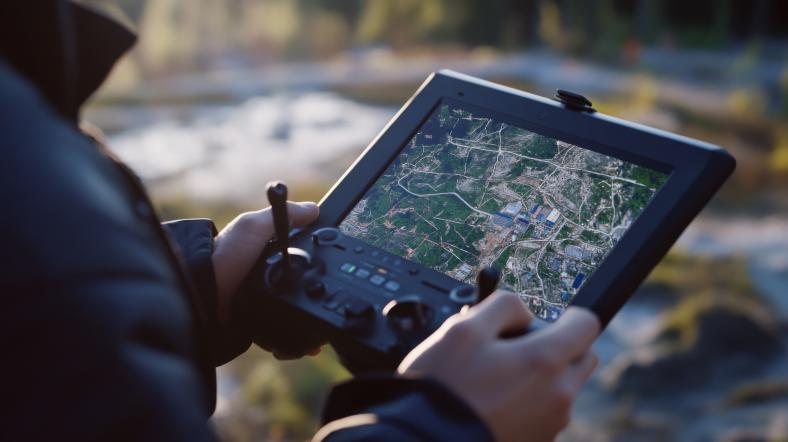
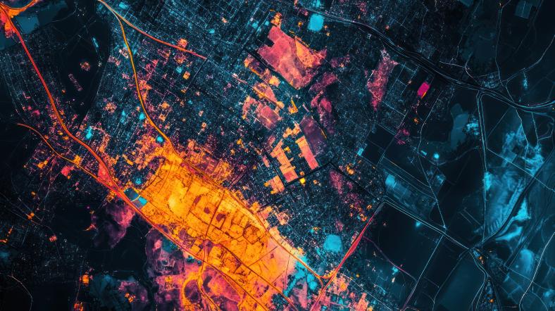
This project aims to enhance the performance of geospatial data for electric utilities worldwide. Geographic information systems (GIS) integrate data from various internal and external sources based on location. Electric utilities must develop a comprehensive data strategy that incorporates geospatial data, enabling them to treat their data portfolio as an asset.
Key Research Areas
Geospatial Informatics Data Practices: Guidance on leading practices to significantly enhance the performance of utility geospatial data.
Geospatial Informatics Innovation Engine: Cutting-edge insights into groundbreaking geospatial applications that electric utilities can strategically leverage to enhance the value of their geospatial investments.
Geospatial Informatics Analytics and Visualization: Pioneering advanced geospatial analysis techniques, empowering utilities to effectively tackle their most pressing challenges with confidence and precision.


Research Value
Guidebooks, evaluations, testing, and industry collaborations that provide:
- Effective data strategies for managing and optimizing utility geospatial systems
- Improved quality of GIS data through the development of consistent processes
- Efficient management of large geospatial data volumes
- Evaluations of next-generation geospatial applications and technologies
- Practical insights into best practices and innovative methodologies for geospatial analysis
- Enhanced Geospatial Intelligence capabilities for greater efficiency in operations and planning
Task Force
The Geospatial Intelligence task force gathers utility subject-matter experts in geographic information systems, asset management, transmission, distribution, and information technology. The task force meetings are an excellent opportunity to participate in the latest EPRI research, meet with peers at other participating utilities, and collaborate on common challenges. The task force meetings are held twice per year via WebEx meetings.
Members are encouraged to participate in several ways:
- Attend task force meetings to collaborate with GIS peers
- Provide information on your GIS practices, tools, and challenges
- Review and comment on reports and findings
- Help identify opportunities or gaps in current research
- Present to the task force on issues or initiatives
If you have questions about the task force, contact Kevin Gorham
Related Research
The team collaborates across EPRI and the industry to apply Geospatial Intelligence methods to critical industry domains.
Mapping Electrical Distribution: Suitability of Collection Methods and Data Types for Assets
Utility Hazard Zones for Distribution Resilience Story Map Demonstration
Enhanced Grid Modeling Data for Planning and Operations
Supplemental Projects
|
GIS Migration Data Requirements
|
|
Evaluation of Automated GIS Data Cleanup Methods |
To discuss project ideas, contact: Kevin Gorham